in-innovative navigation GmbH has been commissioned as one of 5 partners for the project HANSA, which is supported by MarTERA and funded by the Federal Ministry for Economic Affairs and Energy.
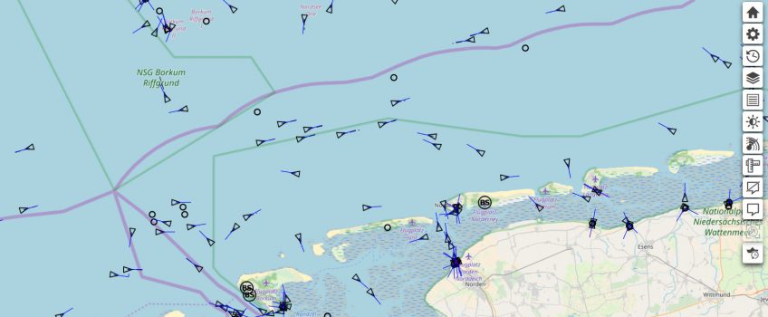
The aim of the project is to determine the safest route for each type of ship under different weather conditions and tidal currents by retrospective analysis of a huge amount of historical AIS data. This will provide masters with valuable information in advance about areas of heavy marine traffic such as the North Sea or the Eastern Chinese Sea. The risk of collisions and groundings, which are not uncommon in these busy areas, will thus be mitigated.
The various routes theoretically available on a waterway are weighted against each other using the existing data and appropriate algorithms, taking into account vessel characteristics and ship types, as well as any other maritime data.
Thus, HANSA provides a novel approach to use historic information to validate planned routes and actual voyages. “Recommended Routing Corridors” enable the mariner on board and operators ashore to detect potentially hazardous situations for the own vessel or the general traffic situation earlier in the planning or monitoring phase.
The project duration is 24 months. The consortium joins partners with different fields of expertise in big data analysis, marine research, communication technology, simulation and logistics: OFFIS e.V., PUEB of the University of Poznan, in-innovative navigation GmbH, NAVTOR and SPRINT.


 Bespoke Programming